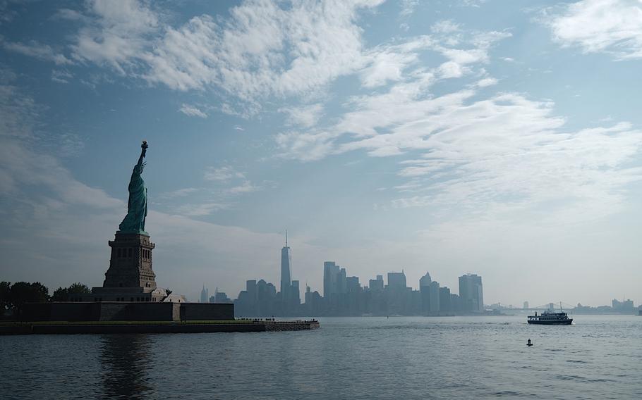
Sea levels in Manhattan, N.Y., could rise by 2 feet as early as 2055 or as late as 2078, depending on the impacts of climate change, according to NOAA estimates. (Johannes Eisele, AFP/Getty Images/TNS)
(Tribune News Service) — Oceans along the U.S. coastline will rise faster within the next three decades than they did in the past 100 years, bringing more flooding to coastal cities such as New York and Miami, according to the latest projections.
Sea levels are expected to rise as much as 12 inches by 2050, according to a report led by the National Oceanic and Atmospheric Administration. While the amounts vary according to region, the inundation will lead to more coastal flooding and make tidal and storm surge more severe, the multi-agency report said.
“Sea levels are continuing to rise at a very alarming rate,” Bill Nelson, administrator of the National Aeronautics and Space Administration, said Tuesday in a conference call with reporters. “And it’s endangering communities around the world.”
Rising waters are threatening coastal cities including New York, Boston and Miami, which already commonly experience flooding during high tides that occur with full and new moons. Homes, businesses, highways and other infrastructure along coastlines are vulnerable to damage from flooding and rising sea levels. Nearly 8 million homes, with a reconstruction cost of $1.9 trillion, are at risk of storm surges, according to a 2021 CoreLogic report.
Sea levels in Manhattan could rise by 2 feet as early as 2055 or as late as 2078, depending on the impacts of climate change, according to NOAA estimates. About 7,895 people in Manhattan live in low-lying areas that would flood with less than 2 feet of sea level rise.
High-tide flooding has more than doubled in New York since 2000 and now occurs 10 to 15 times a year, the report said. The annual frequency of flooding in Miami and Charleston, S.C., has grown from zero to two days in 2000 to about five to 10 days as of last year.
“These increases will continue, further accelerate, and spread to more locations over the next couple of decades,” said the report, which updates a sea-level projection from 2017. The U.S. uses satellites to measure ice thickness and the levels oceans are rising. “This new data on sea rise is the latest reconfirmation that our climate crisis – as the President has said – is blinking ‘code red,'” White House National Climate Advisor Gina McCarthy said in a statement. “We must redouble our efforts to cut the greenhouse gases that cause climate change while, at the same time, help our coastal communities become more resilient in the face of rising seas.”
By trapping heat that melts ice sheets, greenhouse gas emissions will likely contribute about 2 feet of global sea level rise by 2100, according to the report. Failing to curb future emissions could cause sea levels to rise an additional 18 inches by the end of the century to reach 5 feet. The U.S. coast from around North Carolina up to Maine is a global sea-level rise hotspot.
Global warming above 5.5 degrees Fahrenheit would spur on rapid melting of Greenland and Antarctic ice sheets, releasing that water into oceans. The exact damage is difficult to model because of “ice sheet instability,” the report said.
In addition to NOAA, researchers from NASA, the Environmental Protection Agency, the U.S. Geological Survey, the Department of Defense, the Army Corps of Engineers and the Federal Emergency Management Agency all contributed to the 111-page report.
©2022 Bloomberg L.P.
Visit bloomberg.com.
Distributed by Tribune Content Agency, LLC.