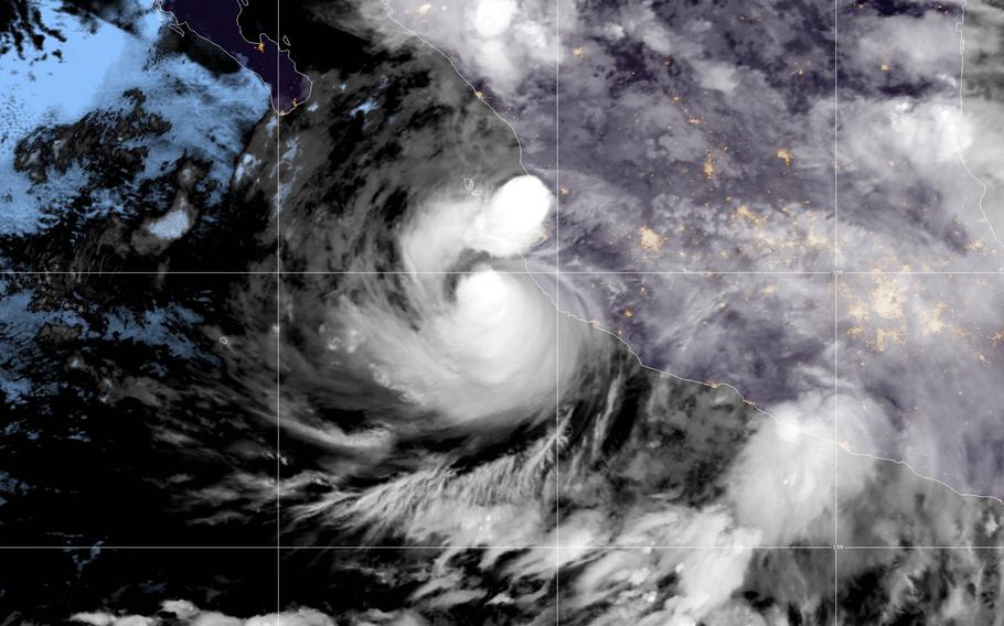
Satellite photo of a tropical storm in the Gulf of Mexico, June 28. (NOAA)
Before a violent thunderstorm complex unleashed winds up to nearly 140 mph in Iowa last August, many residents had no idea it was coming. It was the most costly thunderstorm disaster in U.S. history, but severe thunderstorm warnings issued by the National Weather Service did not sound on smartphones like they do for tornadoes and severe flash floods.
Starting Monday, the Weather Service is implementing changes to their warning alerts to differentiate the threats posed by typical severe thunderstorms and those that are particularly dangerous, such as the Iowa complex last year. With winds rivaling those in a major hurricane, meteorologist classified it as a “derecho,” which is an extreme, fast-moving wind storm.
Now, your smartphone will blare ahead of such violent storms, but will not for more common events.
A thunderstorm is considered “severe,” according to the National Weather Service, if it contains one or more of the following: hail at least one-inch in diameter, or roughly the size of a quarter; damaging winds of at least 58 mph; a tornado.
But there is a big difference between a severe thunderstorm with 58 mph vs. 90 mph winds, or between a storm with quarter-size vs. softball-size hail.
The new change will introduce two key categories, “considerable” and “destructive,” into thunderstorm warning text, creating higher tiers for the more intense storms.
Warnings will get the “considerable” tag when a storm could produce hail of at least 1.75 inches in diameter (golf ball-size) and/or 70 mph winds. One threat level higher, and storms will be tagged as “destructive” with hail at least 2.75 inches in diameter (baseball size) and/or 80 mph winds.
If a storm is tagged as “destructive,” smartphones will sound in the area being warned by activating the Wireless Emergency Alert (WEA) system, helping disseminate the most hazardous severe thunderstorm warning alerts to a much larger audience.
This tiered system is part of a Weather Service “impact-based warnings” initiative, a multiyear effort to help the public understand the relative urgency of hazardous weather situations.
“If these changes were in place during the 2020 derecho, many people would have received automatic alerts on their cellphones,” said Rich Kinney, warning coordination meteorologist at the National Weather Services office based in Des Moines.
“The warning systems in place at the time worked very well,” he added. “The new impact based warnings and WEA activation will make the warning systems even more effective.”
Yvette Benavides Van Pelt, a meteorologist at the Weather Service’s Austin-San Antonio office, said this tiered system will help forecasters call attention to particularly severe hail. In April, a monster, record-setting hailstone roughly 6.4 inches in diameter fell in her forecast area.
“While all severe storms pose a threat to life and property, the storm that produced this giant hailstone carried damage threats that qualify with the new ‘destructive’ tag criteria, and would have automatically activated (WEA) on smartphones in the warned area, further enforcing the severity of this storm,” Van Pelt said.
While just introduced for thunderstorms Monday, impact-based warnings for flash flooding have existed for several years. Van Pelt said they have helped her office communicate the severity of high water to the public in south Central Texas, which has some of the highest flood-related fatality statistics in the country.
The Weather Service also applies impact-based warnings for snow squalls and tornadoes.
“This has been long in the works,” said Greg Schoor, severe weather program lead at the Weather Service, told the Capital Weather Gang last year. “The format we had for tornado warnings, we now have down pat,” said Schoor. “That’s the way we want it to be.”
Impact-based warnings were initially developed after a review of the 2011 Joplin, Missouri tornado that killed 162 people. It motivated the Weather Service to conduct years of testing to further develop their warnings to improve weather risk communication, provide more information to media and emergency managers, and improve public response and decision-making.