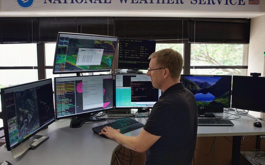
National Oceanic and Atmospheric Administration (NOAA) warning coordination meteorologist, John Bravender, reviews weather data in the National Weather Service forecast office June 17, 2025. Hurricane season runs from June 1 to Nov. 30. in Hawaii and community members can prepare for a natural disaster by following the Ready Navy model including be informed before, during, and after an incident; make a written family emergency plan; and build an emergency supply kit. (U.S. Navy photo by Kyler Hood) (Kyler Hood/Navy)
Days before the Pentagon was set to cut off access to satellite observations that help meteorologists track hurricanes overnight, Defense Department officials told government forecasters they would continue sharing the data, after all.
Defense officials initially announced in late June that they would terminate a feed of satellite data, giving meteorologists just a few days of notice. As forecasters raised concerns that any loss of data that helps detect fast-strengthening storms could increase the risks they pose to coastal communities, the Pentagon extended that timeline to July 31.
But officials at the National Oceanic and Atmospheric Administration said Tuesday they now expect “no interruption” in the data their meteorologists receive through what is known as the Defense Meteorological Satellite Program, which includes microwave-based observations that reveal storm activity even through the cover of darkness. A NOAA statement said the agency expects to continue receiving the data for as long as the aged satellites — which are in the process of being replaced — keep flying.
NOAA cited an announcement from the U.S. Navy’s Fleet Numerical Meteorology and Oceanography Center reversing the termination. It was not immediately clear why the reversal was made. Navy officials could not immediately be reached for comment.
Meteorologists cheered the decision, saying termination of the microwave data could have set back hurricane capabilities. Several decades ago, before such data was available, forecasters ran the risk of what they called a “sunrise surprise,” when daylight would reveal that a storm had strengthened more than meteorologists had expected.
“Crisis averted,” hurricane expert Michael Lowry, a former National Hurricane Center senior scientist, wrote on the social media platform Bluesky.
NOAA officials stressed that, while valuable, the Defense Department’s microwave satellite observations represent “a single dataset in a robust suite of hurricane forecasting and modeling tools.” Meteorologists at the Hurricane Center and National Weather Service also have access to microwave-based observations collected by NOAA’s Joint Polar Satellite System.
“NOAA’s data sources are fully capable of providing a complete suite of cutting-edge data and models that ensure the gold-standard weather forecasting the American people deserve,” an agency statement said.
Microwave is a form of radiation best known for how it interacts with water to heat food. But as microwave radiation also naturally emanates from Earth’s surface, scientists can also use it to see where and how water is distributed in the atmosphere — and detect the structure and wind patterns of hurricanes even when they are invisible to the naked eye.
Meteorologists have said such microwave data is vital as more hurricanes are undergoing rapid intensification, transforming from modest and disorganized systems into major Category 5 storms within a matter of hours. Global warming, as a result of fossil fuel combustion-based emissions and the greenhouse effect, is giving storms more energy to intensify, studies have shown.
The more satellites circling the planet and collecting the microwave observations, the better the chances of detecting such rapid intensification more quickly, scientists said.