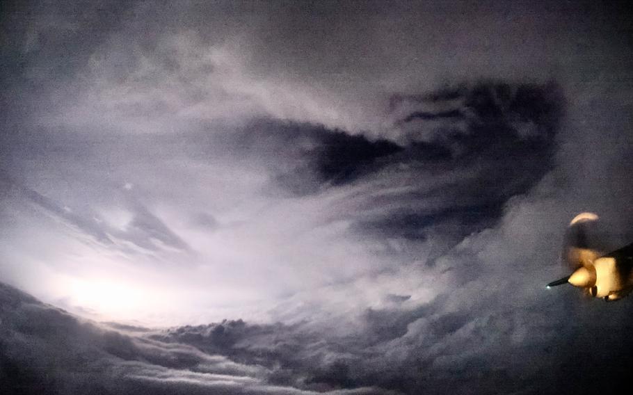
The Air Force Reserve Hurricane Hunters fly a weather reconnaissance mission into Hurricane Helene, Sept. 26, 2024. (Mark Withee/U.S. Air Force)
Hurricane forecasters will soon lose access to government satellite data vital to tracking hurricanes overnight — and to preventing what meteorologists once called a “sunrise surprise,” when a storm unexpectedly strengthens or shifts in the darkness.
The Pentagon said Monday that it would wait until the end of July before it stops sharing the data — a month later than initially planned — in response to the high level of concern after the move was first announced last week.
When the sun sets on a tropical cyclone, meteorologists typically continue to track its strength and development by observing microwave frequencies using Defense Department satellites. But the Pentagon said it will stop making that data publicly available “no later than” July 31, a National Oceanic and Atmospheric Administration office said Monday.
The notice said defense officials had received concerns from Karen St. Germain, director of the earth science division at NASA. Scientists were initially given less than a week to prepare for the loss of the microwave data.
But some meteorologists worry that July is still too soon — and experts have raised concerns that the loss of data could set forecasting capabilities back decades.
Many scientists have said the microwave data is more valuable than ever at a time when more hurricanes are undergoing rapid intensification, in which they transform from tropical storms or low-end hurricanes into major Category 4 or 5 storms within a matter of hours — often just before making landfall.
“It’s a very useful dataset for getting a lot of detail, and it works at night,” said Robert Rohde, chief scientist at Berkeley Earth. Loss of the microwave data “is likely to create situations where we are unprepared for rapid intensifications,” he said.
It is the latest Trump administration action to stir concern among meteorologists that the nation is less prepared to forecast and track extreme weather than it was six months ago. NOAA and the National Weather Service have lost hundreds of meteorologists and other earth scientists in recent months as the U.S. DOGE Service has fired probationary workers and orchestrated early retirements. So many have departed that the Weather Service has had to scramble to reassign staff. The agency was also recently granted a long-awaited hiring-freeze exemption to help fill notable gaps in weather-forecasting offices.
The administration last week eliminated the Climate.gov website and social media accounts where it would post news, research and explainers about how human-caused climate change — triggered by fossil fuel emissions and the greenhouse effect — is transforming the planet and altering its weather patterns. The administration said it would release any future research projects that would have appeared on that website to NOAA.gov/climate.
The microwave data from the Defense Department satellites and other Earth-observing satellites has helped researchers understand how the warming of the planet is allowing more tropical storms to rapidly intensify.
Microwave is a form of radiation with a wavelength that is longer than visible light or infrared waves, though not as long as radio waves. In a microwave oven, the waves make water molecules vibrate, heating food.
But by observing microwave radiation that emanates from Earth’s surface — and the ways it interacts with water — scientists can detect where and how intensely water is distributed. It lets them see where clouds are and what the structure of a storm - such as its eyewall and wind patterns — looks like.
Meteorologists have been using microwave observations to monitor tropical cyclone development since the late 1990s.
NOAA spokeswoman Kim Doster said the microwave data “is a single dataset in a robust suite of hurricane forecasting and modeling tools” that includes satellite data in infrared and visible light and observations from ground-based weather stations, buoys, and devices known as radiosondes that scan atmospheric conditions from weather balloons.
There is also an instrument aboard NOAA’s own Joint Polar Satellite System that gathers microwave data — the Advanced Technology Microwave Sounder.
“NOAA’s data sources are fully capable of providing a complete suite of cutting-edge data and models that ensure the gold-standard weather forecasting the American people deserve,” Doster said in a statement.
NOAA officials referred The Washington Post to the Defense Department for questions about the satellite data, gathered as part of the military’s Defense Meteorological Satellite Program. Pentagon officials could not be reached for comment, nor could St. Germain at NASA.
But meteorologists said the loss of the data gathered by three defense satellites, carrying instruments called the Special Sensor Microwave Imager/Sounder, means that microwave observations will be gathered far less frequently. It takes many hours for such satellites and others, such as the Global Precipitation Measurement satellite mission jointly operated by the United States and Japan, to scan the planet from what is known as low Earth orbit.
Fewer satellites providing microwave observations means significantly more time between scans of a specific storm, said Kim Wood, an associate professor of hydrology and atmospheric sciences at the University of Arizona.
It means meteorologists will be able to observe any given tropical storm or hurricane at microwave frequencies about half as often as they do now, Wood said.
Besides its importance in tracking hurricanes, the microwave data is also key in studying changes in global ice cover and polar sea ice, Wood added.
In a Substack post, James Franklin, retired chief of the National Hurricane Center’s Hurricane Specialist Unit, said there is “no practical substitute” for hurricane forecasters to use. He predicted loss of the data would have cascading impacts on track forecasts for tropical storms, including delayed updates on tropical cyclone strengthening and “cases of hurried and abrupt changes to NHC track and intensity forecasts shortly after first-light visible imagery arrives (the ‘sunrise surprise’).”
That will especially heighten risks for people in the Caribbean, Central America and Mexico, where reconnaissance aircraft are deployed less frequently to gather direct storm observations, Franklin wrote.
“Traditional weather satellites are helpful, but they don’t allow forecasters to peer beneath the clouds to understand important structural changes that can tip them off to episodes of rapid intensification,” Michael Lowry, another National Hurricane Center veteran and a hurricane specialist with Local 10 News in Miami, wrote in a separate Substack post.
The decision to delay the termination of the defense satellite data did not comfort Wood, who doesn’t expect meteorologists to find a solution quickly. For example, Wood said, when the Global Precipitation Monitoring mission launched, about a year passed before scientists stopped using data collected by a precursor satellite.
That extra time allowed scientists to make sure they were prepared to process data from the new instruments.
“When the National Hurricane Center gets essentially five days’ notice that this key source of information is going away, without a lot of context, it results in a scramble,” Wood said.