
Machinist’s Mate 2nd Class Dasia Washington shovels sand into a bag aboard Naval Air Station Jacksonville in preparation for Hurricane Idalia, Aug. 28, 2023. (Jacob Sippel/U.S. Navy)
(Tribune News Service) — Hurricane Idalia on Tuesday churned toward a landfall somewhere along the Florida Gulf Coast, a fast-moving Category 1 system expected to rapidly strength as it travels along a runway of bathtub-warm water ahead in the Gulf of Mexico.
The latest National Hurricane Center forecast at 11 a.m. would takes Idalia into the Big Bend area in the early morning hours Wednesday as a dangerous Category 3 storm. Near its powerful core, sustained winds could hit 125 mph and storm surge could reach up to 15 feet, the latest uptick in predictions that have grown worse over the last few days.
The flooding threat extended far beyond the cone of concern for high winds. From Apalachicola to the Florida Keys, much of the west coast remained blanketed with storm surge and hurricane warnings, and officials warned that Idalia’s rain, tornadoes and surge will be felt far from the strike zone. The densely populated Tampa Bay region, for instance, was facing a record four to seven feet of surge. Forecasters also cautioned that the track could still shift and some models took the powerful eye further north, closer to the state capital of Tallahassee.
Evacuations were already underway in 21 coastal counties, and major theme parks, schools, airports and universities have closed in anticipation of Idalia’s arrival. Gov. Ron DeSantis urged Floridians to obey evacuation orders and keep themselves and their families safe from the “catastrophic” storm surge expected.
“By the time we get to the end of tonight, you’re gonna see some nasty weather,” DeSantis said in a Tuesday morning news conference. “Be warned about that and do what you need to do right now to keep yourself and your family safe.”
He ran through numbers to emphasize the state’s preparation – 55,000 national guardsmen ready, 42,000 gallons of fuel and 25,000 linemen already stationed.
DeSantis also said if the storm does hit the Big Bend region, which is more rural, it would be a challenge, but it would differ from the post-Ian recovery, where there was not only heavy debris, but heavy commercial development.
At this point, there is growing certainty of a landfall in the Taylor, Dixie or Levy County region, which has largely been untested by a major storm. The Tallahassee office of the National Weather Service underlined that in a morning forecast discussion post.
“To put this system into the historical context, there are NO major hurricanes in the historical dataset going back to 1851 that have tracked into Apalachee Bay. None. Don’t mess around with this,” forecasters wrote.
In Cedar Key, police were knocking on doors to convince residents to evacuate, like 28-year-old Carol Carlin, who spent the morning packing clothes at the shop her family has owned for about 13 years, Island Trading Post.
“If you look at it from the outside, it’s not the best,” she said during a brief break from packing. “This whole town is very, very old, so a lot of the infrastructure that’s on Second Street … it’s been there for 100-plus years. I’m just really worried it might not be the same when we get back.”
Carlin said many are leaving the tiny gulf coast town with a population less than 700. But a friend has insisted on staying on the island.
“He said his house is rated for a category 5 storm, but is it?” she said, with a furrowed, dripping brow. “It’s never been tested.”
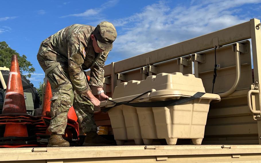
Spc. Jacob Ayers, a Florida National Guard soldier from the 153rd Cavalry Regiment, equips a vehicle to support the relief effort in the wake of Hurricane Idalia at Henry W. McMillan Armory, Tallahassee, Fla., on, Aug. 29, 2023. (Alexander Helman/U.S. Army)
Storm surge risk grows
Early morning radar and satellite images found a more well-organized Idalia than on Monday, although the storm didn’t officially strengthen into a hurricane until 5 a.m. Tuesday. By mid-morning, it was even stronger, and the National Hurricane Center upped its predictions for how powerful the hurricane would be at landfall.
Idalia also finally began picking up the pace of movement up the coast, from a leisurely 8 mph speed up to 14 mph, as it crept north into the Gulf of Mexico. Propelled by helpful steering winds, the storm was expected to stay fast as it rockets across the northern half of the state Wednesday and Thursday.
That faster pace could also lower the chance that Idalia hooks right early and makes landfall further south than currently predicted, said Craig Setzer, chief meteorologist for Royal Caribbean Group.
“By late today, based on its speed and location, decreasing odds of it making landfall will work up the coast with it & landfall odds will become more focused on one area,” he posted on X, the social media site formerly known as Twitter.
While that might keep the potential for flooding rain down, the risk of storm surge is especially high for this storm. It’s the No. 1 killer in hurricanes and the reason for the evacuation orders called up and down the coast.
The Big Bend corner of the coast, near Cedar Key and Crystal River, was expected to see the worst as of the Tuesday morning forecast — 10 to 15 feet of surge above ground level.
“We’re going to have destructive wave action on top of that that can actually destroy homes and buildings and make this a place that is difficult to survive,” Michael Brennan, director of the National Hurricane Center, said in a Tuesday morning video update.
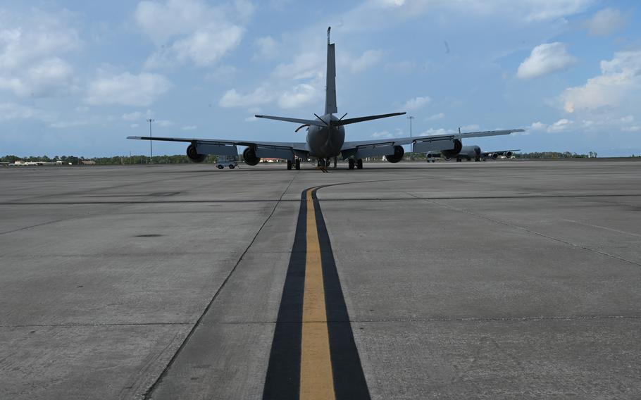
A KC-135 Stratotanker aircraft assigned to the 6th Air Refueling Wing is idle on the flight line on MacDill Air Force Base, Fla., Aug. 28, 2023. All tanker aircraft at MacDill were evacuated in response to the anticipated effects of Hurricane Idalia. (Sterling Sutton/U.S, Air Force)
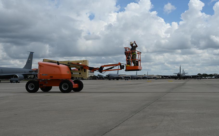
U.S. Air Force Senior Airman Isaac Rivera-Molina, an isochronal inspections craftsman assigned to the 6th Aircraft Maintenance Squadron, transports a lift to a safe location at MacDill Air Force Base, Fla., Aug. 28, 2023. Machinery on base was moved to safe locations in preparation for Tropical Storm Idalia. (Sterling Sutton/U.S, Air Force)
Getting stronger, fast
On Tuesday, Idalia’s projected track takes it across some of the warmest pockets of water in the Gulf, where it’s expected to blow up into a much stronger storm before it makes landfall Wednesday morning.
“With an inner core now present, the stage is set for Idalia to rapidly intensify before landfall,” forecasters wrote in the 5 a.m. update.
South Florida should feel the first bands of Idalia’s gusty winds Tuesday afternoon in the Keys, which are also expected to see a couple of feet of storm surge. Miami-Dade and Broward are mostly out of the hot seat, but gusts of strong winds — as well as a couple inches of rain — could begin Tuesday afternoon and continue through Wednesday evening.
Idalia was not expected to be a huge rainmaker, but even a few inches could cause flooding in coastal South Florida, since Wednesday is the first king tide, the annual series of highest tides, of the year.
Where, exactly, Idalia comes ashore is still up in the air. The latest forecast saw another western shift, although the hurricane center noted its current track is now to the east of other major storm models.
The track can and will continue to shift as Idalia closes in, but the effects of the storm will be felt up and down the coast, no matter where the eye crosses.
As of the 11 a.m. update, Hurricane Idalia was about 275 miles south-southwest of Tampa, with maximum sustained winds of 85 mph. It was headed north at 14 mph with tropical storm-force winds extending out up to 160 miles from the center. Hurricane-force winds extended out 15 miles from the center.
Tampa Bay Times/Miami Herald Tallahassee Bureau staff writer Romy Ellenbogen contributed to this report.
©2023 Miami Herald.
Visit miamiherald.com.
Distributed by Tribune Content Agency, LLC.