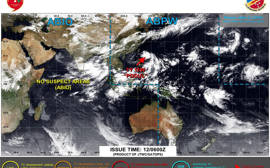
Tropical Depression 16W develops northeast of Saipan; initial forecast track takes it well southeast of Okinawa by next Tuesday. (Joint Typhoon Warning Center)
11:30 a.m. Thursday, Aug. 7, Japan time: A new tropical depression has spawned well southeast of Okinawa. Joint Typhoon Warning Center’s initial forecast track shows Tropical Depression 16W headed generally west over the next few days, well away from any land masses.
At 9 a.m., 16W was about 1,380 miles east-southeast of Kadena Air Base and 260 miles north-northeast of Saipan, edging west at 4 mph with 30-mph sustained winds and 40-mph gusts.
U.S. bases throughout the northwest Pacific remained in seasonal Tropical Cyclone Condition of Readiness posture through Thursday morning.
JTWC projects 16W to curve northwest for the next day or so, then make a straight run west, passing about 275 miles south of Iwo Jima just past midnight Saturday.
16W is forecast to become a Category 2-equivalent at mid-morning Tuesday, about 450 miles southeast of Kadena at the end of the forecast period.
Much uncertainty remains and 16W is a young system. Model-track guidance and the GFS and Euro forecast ensembles are varied at this point regarding possible tracks and intensity.
Give it time. More will be known in the next day or so as JTWC issues more forecast tracks and the system has time to develop.