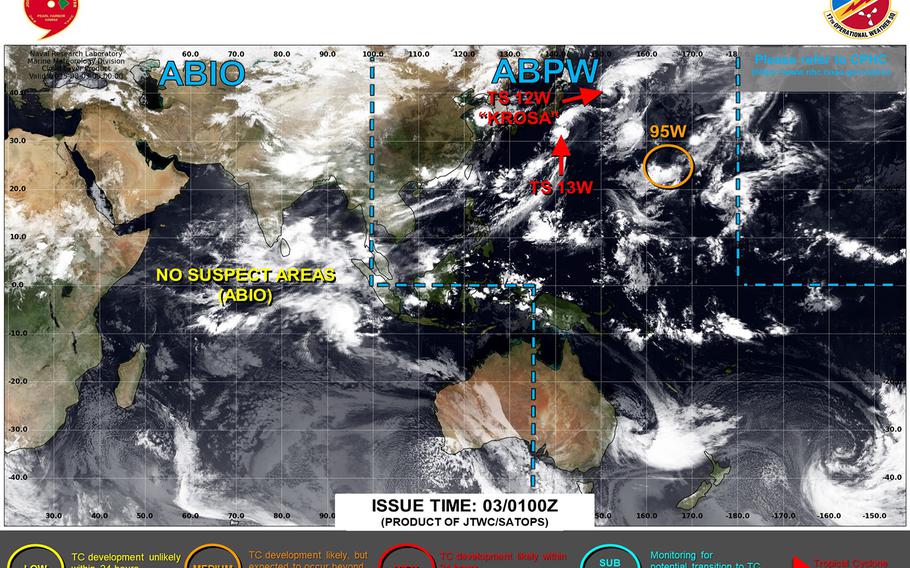
Bailu upgraded to a tropical storm, has put the pedal to the metal heading quickly northeast away from the Kanto Plain. (Joint Typhoon Warning Center)
11:50 a.m. Sunday, Aug. 3, Japan time: Bailu has been upgraded to a tropical storm by Joint Typhoon Warning Center, and seems to be in quite the big hurry to skedaddle northeast away from the Tokyo area.
At 9 a.m., Bailu was about 185 miles southeast of Yokosuka Naval Base, speeding north-northeast at 30 mph with 40-mph sustained winds and 50-mph gusts.
Forecast closest point of approach to Yokosuka has come and gone. Commander Fleet Activities Yokosuka remained in seasonal Tropical Cyclone Condition of Readiness 5 through Sunday morning.
The name Bailu was contributed by China to Japan Meteorological Agency’s tropical cyclone naming database. It means white deer, which stands for auspiciousness in the Chinese language.