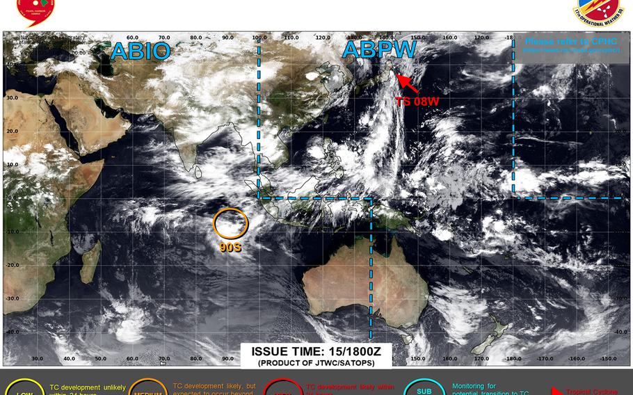
08W downgraded to a tropical depression, continues hurtling north on JTWC forecast track into the northern Pacific. (Joint Typhoon Warning Center)
5:35 a.m. Wednesday, July 16, Japan time: 08W has been downgraded to a tropical depression and is transitioning into a subtropical system as it continues its hectic northbound pace near Misawa Air Base. Joint Typhoon Warning Center has issued its final warning on the system.
At 3 a.m., 08W was 64 miles south-southeast of Misawa, hurtling north-northeast at 35 mph and had weakened to 30-mph sustained winds and 40-mph gusts. U.S. bases throughout Japan remained in seasonal Tropical Cyclone Condition of Readiness posture overnight Tuesday.
08W is forecast to continue weakening as it curves northeast into the northern Pacific ocean as a subtropical low. 08W should bring heavy rain and gusty winds to northeast Japan as it burrows through northern Honshu and Hokkaido back out over open water.
