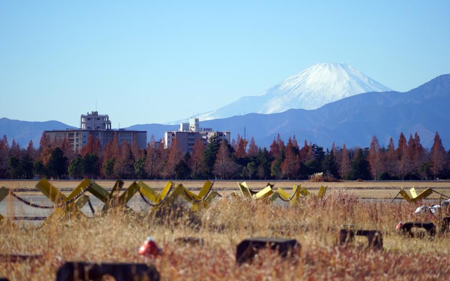
A snow-capped Mount Fuji is seen from Naval Air Facility Atsugi, Japan, Dec. 20, 2022. (Akifumi Ishikawa/Stars and Stripes)
TOKYO — A new evacuation plan for an eruption of Japan’s venerated Mount Fuji calls on visitors on its flanks to descend as soon as authorities detect a “potential for increased volcanic activity” to prevent panic.
The first revision to the plan in nine years follows a 2021 update to the hazard map that widens the area likely to suffer from pyroclastic and lava flows if the volcano erupts.
The disaster management council for Mount Fuji released the updated revised plan on March 29.
Mount Fuji, called Fuji-san by the Japanese, is an active volcano and at 12,388 feet is the highest mountain in Japan. About 160,000 visitors climbed beyond the mountain’s eighth station at 10,170 feet during the climbing season last year. More than 200,000 visitors climbed the mountain every year before the COVID-19 pandemic, according to the Environment Ministry’s website.
Fuji last erupted in 1707 but a number of deep, low-frequency earthquakes between 2000 and 2001 indicate the volcano is still active.
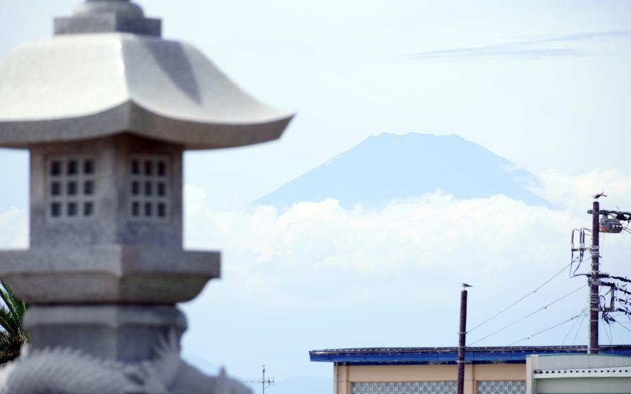
The summit of Mount Fuji is seen from Enoshima Beach in Fujisawa, Japan, Aug. 2, 2021. (Akifumi Ishikawa/Stars and Stripes)
The new hazard map expanded the areas where damage may occur, but reduced the estimated time that lava may reach surrounding population centers, according to the plan.
The mountain is 63 miles southwest of central Tokyo and straddles Yamanashi and Shizuoka prefectures, which has representatives on the council along with neighboring Kanagawa prefecture, local municipalities and the central government.
The new plan calls for earlier evacuations. Tourists should return home in the cars and buses in which they arrived between levels 1 and 3 of a volcanic forecast by the Japan Meteorological Agency.
Level 1 on the five-level scale indicates a potential for increased activity; Level 3 restricts further visits to the mountain.
Lava could reach a population of about 108,500 people within three hours of an eruption. However, the lava is expected to flow slower than the speed of someone walking up a small incline, according to the plan.
The plan recommends people in that zone, which includes the cities of Fujiyoshida, Fujinomiya and Gotemba, should walk, not drive, from the area to avoid traffic jams.
In the zone where large cinders and pyroclastic flows are expected to fall, the population is encouraged to evacuate by motor vehicle before an official evacuation notice. This area includes about 5,800 residents in Yamanashi and Shizuoka prefectures.
Pyroclastic flows form in different ways but contain a high-density mix of hot lava blocks, pumice, ash and volcanic gas, according to the U.S. Geological Survey. They move at very high speed down volcanic slopes and can cause death or burns and other serious injuries.
The elderly and those who require assistance in moving should leave by vehicle when authorities announce a Level 4 eruption, according to the plan.