Tension between China and Taiwan is growing as China has been assuming an increasingly aggressive posture against the island. With concern mounting, the close observation of China’s forces and their movements near Taiwan is becoming more important. Given China’s advanced air and naval defenses, the options for conducting this observation are limited, and it is not the only region where this is a problem.
With physical access to areas of concern around the world either absent or dwindling, the U.S. will inevitably need to rely more on its ability to monitor, analyze and strike from a distance — something that President Joe Biden has repeatedly referred to during the Afghanistan withdrawal as America’s “over the horizon” capabilities. The general public is familiar with some of these capabilities that have been used for years over Iraq and Afghanistan, like remotely piloted drones, which have the ability to visually monitor targets of interest. But drones are inherently vulnerable, relatively slow speed in comparison to other capabilities, and often unsuitable for high threat environments like China. Unlike drones, satellites need no regional bases, no overflight permissions, are less vulnerable to attack or compromise, and are less susceptible to crashing.
Imagery and signals intelligence provided by satellites will be critical for the foreseeable future. While the U.S. government maintains its own network of spy satellites allowing it to gather crucial intelligence on targets of interest, these highly advanced satellites are expensive, limited in numbers and cannot be everywhere at all times.
By utilizing commercially operated American space assets in-line with the requirement outlined in the 2020 National Space Policy, the U.S. government can essentially grow the size of its satellite network, thereby increasing the frequency of observation and reducing the time required to gather data on targets of interest. Increasingly capable and numerous commercial satellite constellations can image targets of interest more frequently, thereby providing more updates in a given amount of time, and subsequently decreasing the chance of missing an important development. In terms of resiliency, the growing number of commercial satellites in orbit could allow for a de facto backup capability in the event that a U.S. government satellite is disabled by attack, space debris or equipment failure.
There is no shortage of international security threats warranting closer surveillance, but there are limited resources to surveil those threats. Large fleets of commercial satellites can be tasked with monitoring numerous threats and situations around the world and aid in determining which of those threats warrant the attention of more advanced U.S. government satellites.
For instance, commercial satellites have recently revealed China’s rapid construction of new nuclear missile silos. The U.S. has sought to include China in strategic nuclear arms control negotiations, and satellite imagery provides an otherwise absent window into the assets China is bringing to bear. This is important both when attempting to negotiate potential limits to those assets and deterring their use.
Considering Russia’s propensity to build up forces and conduct massive military exercises, often in the vicinity of its neighbors, rapid satellite imagery can also provide key insight into whether these exercises are truly defensive in nature. Should Russia make an overtly aggressive move toward its neighbors, the intelligence provided by satellites would be key in mounting a response. Similarly, as the U.S. withdrew from the Open Skies Treaty, which allowed for surveillance overflights of Russia, the U.S. can use unclassified commercial satellite data to better supply its allies with intelligence about Russia’s military forces.
Additionally, as the future of Iran’s nuclear capabilities remains in question, the ability to continuously monitor Iran’s facilities and movements from space may grow more critical, particularly as Iran has already compromised several U.S. drone systems.
Commercial satellites can also aid in providing routine but valuable updates on developing or nascent situations, like the instability created by climate change. As climate change threatens food security and coastlines, it inevitably creates resource strains and migration trends that lend to regional instability. With the impact of climate change becoming rapidly more evident both at home and abroad, abundant commercial satellite imagery can help leaders better predict and prepare for its consequences.
Today, budgets are strained by the necessity of dealing with the coronavirus and the regular cycle of congressional budgetary fights. The price of investing in new government-owned space-based technologies and their associated launches technologies is considerable. Whereas the operating costs of commercial satellite networks are shared across multiple customers, this presents a relatively cost-efficient opportunity to augment U.S. intelligence and situational awareness, especially with many simultaneously unfolding situations.
With so much uncertainty in our time, the U.S. government should work to ensure it has greater access to secure and reliable American commercial satellite networks to fill its intelligence gaps and help make decisions based on timely and accurate data.
Matthew Wallin is chief operating officer of the American Security Project.
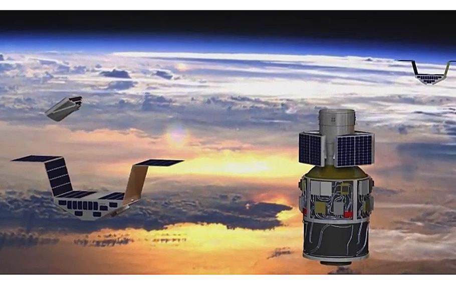
A video screen grab shows an illustration of the Cyclone Global Navigation Satellite System. (YouTube)