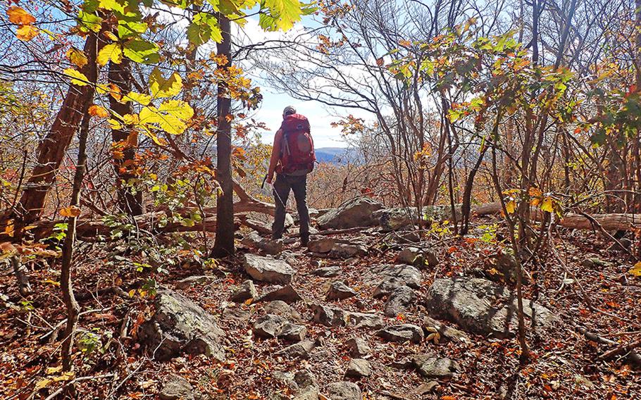
A backpacker pauses to take in fall colors and a vista of the Maryland landscape along the Appalachian Trail in late October. (Kevin Thomas)
The fields along Fox’s Gap in central Maryland are mostly forest now, grown over since the day in September 1862 when thousands of men fought here.
The former Wise Farm, where Union and Confederate soldiers spilled copious amounts of blood, is now a placid clearing bordered by two rural asphalt roads. A parking space occupies the spot where the farmhouse once stood. The Appalachian Trail runs across the site.
At one end of the clearing rests a small obelisk surrounded by a waist-high wall. The monument commemorates a major general of the Union Army who fell mortally wounded there as dusk fell on the ridge top and savage combat quelled there on Sept. 14, 1862.
Just yards away, a simple, inscribed slab marks where a Confederate brigadier general fell dead of a gunshot wound that morning.
The air is chill, and the autumn leaves are floating from the trees in central Maryland, but time is still ripe for a brisk hike or overnight backpacking trek on the 40 miles of Appalachian Trail that crosses this Mid-Atlantic state, mostly atop South Mountain.
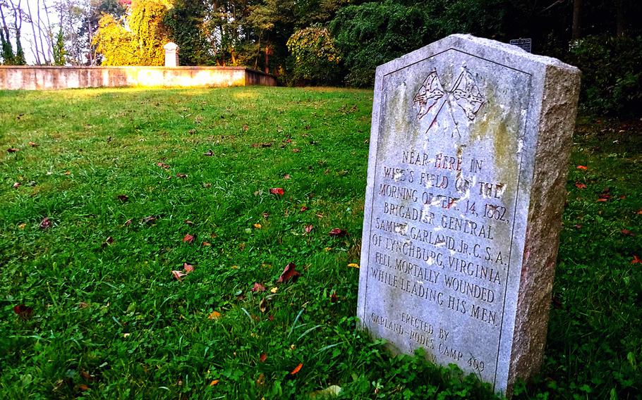
A stone tablet marks the area where Confederate Brig. Gen. Samuel Garland was slain on the Wise Farm at Fox's Gap, Md., during the Battle of South Mountain. Farther on, another monument marks the spot were Union Maj. Gen. Jesse Reno fell mortally wounded. (Kevin Thomas)
A highlight of a late October trip along 30 miles of the trail was a stop at the Fox’s Gap battlefield to contemplate the struggle that took place there during the early phase of the Battle of South Mountain.
“No tour of the Civil War’s eastern battlefields is complete without a visit to South Mountain,” John Hoptak, author, historian and National Park Service ranger, said by email Monday. “While there, pay special attention to the nature of the ground over which the two sides fought; for most of the soldiers in both Blue and Gray who fought here, this would be the worst, most rugged terrain on which they would battle during the entirety of the war.”
The gaps along South Mountain make convenient starting and ending points for a multiday backpacking trip, a day hike or a trail run.
The forests of oak and maple, sassafras and hickory break for several overlooks along the trail. Historic sites, like the three mountain gaps where the Battle of South Mountain took place, give reason to pause.
The Applachian Trail is a popular, well-maintained hiking route throughout its 40 miles in Maryland. (Joseph Ditzler/Stars and Stripes)
The trail is just an hour’s drive from Washington, D.C., and 25 minutes from Frederick, Md., attesting to the numbers of Boy Scout troops, dogwalkers and point-to-point trail runners sharing the trail that weekend. Military folks were conspicuously present.
We spent four days and three nights on the easy stretch of trail in Maryland. From Crampton’s Gap we hiked to one of two shelters at Fox’s Gap, not far off the battlefield. From there we continued to Turner’s Gap, where the Battle of South Mountain continued the afternoon of Sept. 14, 1862. Some of the battlefield is preserved in the form of state parks, trail easements or private conservation efforts, but much remains in private hands, so respect private property. Signage at each site explains the action that took place there.
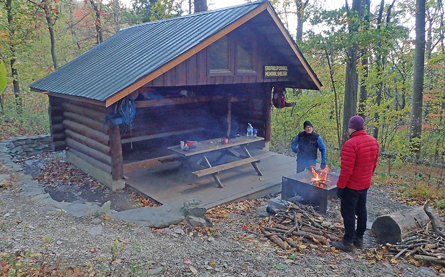
The Ensign Cowall Memorial Shelter is one of several shelters along the Appalachian Trail in Maryland. (Kevin Thomas)
South Mountain was a ferocious, daylong fight that pitted 28,000 Union soldiers against 18,000 Confederates. Of the 5,010 casualties, 768 died. The rebs held out long enough to allow Confederate commander Robert E. Lee to capture the Union garrison at Harper’s Ferry, then in Virginia, and consolidate his army at Sharpsburg, Md., on the banks of Antietam Creek. The two armies met there three days later for combat that eclipsed the bloody mountain fight nearby.
Crampton’s Gap is also the site of Gathland State Park and a 19-century monument to war correspondents erected by Civil War journalist George Alfred Townsend, pen name “Gath,” who also covered Lincoln’s assassination and built his home and the 50-foot-high memorial arch on the former battlefield.
We left a vehicle at a parking lot at Gathland and shouldered our packs for the long climb up the ridge heading north.
We arrived at mid-afternoon at Fox’s Gap, where the Battle of South Mountain began that September morning. So close to Halloween, the haunting, bucolic scene still evoked its memory.
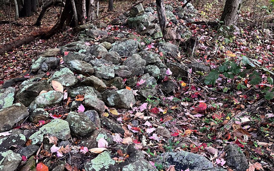
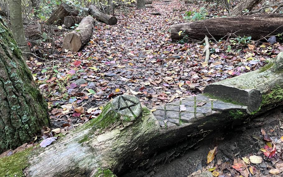
A stone wall courses through woods, once a farmer's field, where Union and Confederate troops fought savagely in September 1862. (Joseph Ditzler/Stars and Stripes)
Three monuments mark significant events of the battle and a walking trail with signs tells the basic story, but the presence of a shambling, sagging stone wall that witnessed the fight warrants graveyard solemnity to the site.
Take a moment to stand near the North Carolina monument, alone in the forest, to contemplate the savagery committed there.
At the old Wise Farm, a patch of open ground remains of the cultivated acres south of Old Sharpsburg Road (now Reno Monument Road) where Union soldiers from Ohio and Michigan closed on North Carolina Confederates for some rare hand-to-hand and bayonet combat of the Civil War.
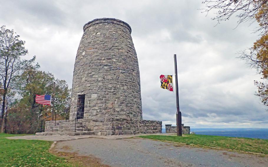
The first monument to George Washington was erected in 1827 on South Mountain, Md. The Appalachian Trail passes nearby. (Kevin Thomas)
Our route continued north past the first monument to George Washington, a tall, stone beehive-looking structure erected at a South Mountain overlook in the early 19th century; the Annapolis Rocks, a go-to overlook popular with Maryland’s population and just two miles from busy Interstate 70; and High Rock, another popular lookout where visitors leave their marks in spray paint.
We strode for miles through the hardwoods, surrounded by the colors of the season and gulping large drafts of fresh air until we stumbled over Maryland’s final stretch, a boulder deposit obstructing the final mile before Pennsylvania.
If you go
Directions: The Appalachian Trail in Maryland crosses South Mountain west of Frederick, Md., at Gapland Road, and continuing north at Reno Monument Road, Alternate U.S. Route 40 and Interstate 70.
Times: Open all year round.
Costs: Varies according to gear required. Trail shelters are free, and first come first served.
Food: Bring your own.
Information: Online: dnr.maryland.gov/publiclands/pages/at.aspx; recommended reading: John Hoptak’s “The Battle of South Mountain.”