TYNDALL AFB, Fla. (Tribune News Service) — Tyndall Air Force Base took another step in becoming the "base of the future" by using a drone to help digitally map the facility Friday.
Tyndall already had been using other technology to digitally map the site, but then launched a drone to conduct a LiDAR (light detection and ranging) survey to help complete the picture, giving engineers a mixture of augmented and virtual reality tools to help diagnose and repair equipment quicker and more effectively. Digital twin feeds will go to the IROC, or Installation Resilience Operations Center, where a comprehensive view of base infrastructure will be created.
The IROC will inform base leaders in real time during emergencies and allow engineers to plan future development, refine facility designs, track construction progress and enhance facility maintenance and operations.
Engineers began mapping buildings in March by putting on "camera" suits and putting cameras on trucks. That kind of digital mapping was to catch things on an eye-level. The trucks also were able to map the roads to assess their condition.
The drone gets a bird's-eye view of buildings and digitally maps them. The Tyndall Project Management Office team began Friday afternoon by scanning its own office, but the drone was busy flying over the base during the weekend.
"The drone itself is a 55-pound max payload, carrying light detection and ranging or LiDAR sensor, and it helps us understand the shape each facility is on the exterior," said Lowell Usrey, Tyndall's Project Management Office Integration Division chief. "It's got some high-resolution cameras attached to it to let us understand what the facilities look like."
Ursey added that the drone will help the Tyndall PMO team do two things: help it map out the actual physical characteristics of each facility and offer a near-real representation of the facility for the digital twin.
Some of the differences between the LiDAR software and a traditional GIS (geographic information system) is that the data is live-action. For example, the Tyndall PMO temporary office doesn't exist on Google Earth or the Air Force's data system, but now it does with the LiDAR system that is attached on the drone.
The LiDAR system is complementary data for the Air Force's GIS system.
The drone has completed phase two of the digital twin mapping of Tyndall. The next phase of the digital twin project will include higher resolution photos of the rooftops specifically to assess their condition.
Those images will be fed into an Artificial Intelligence machine so it can do a predictive analysis of when the roofs might fail in the future.
(c)2021 The News Herald (Panama City, Fla.)
Visit The News Herald (Panama City, Fla.) at www.newsherald.com
Distributed by Tribune Content Agency, LLC.
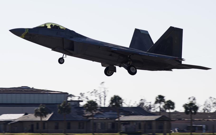
An F-22 Raptor fighter aircraft takes off at Tyndall Air Force Base, Fla., Oct. 30, 2018. (Kelly Walker/U.S. Air Force)